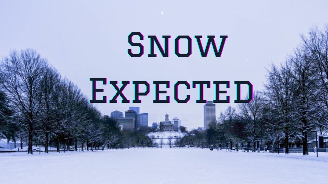
Medford, OR — The first significant hint of winter may arrive early in Oregon this year. According to the National Weather Service (NWS) in Medford, a strong system moving into the region will bring cold air and periods of mountain snow beginning late Friday night through Monday.
Early-Season Snow on the Way
Forecasters say a pair of upper-level low-pressure systems will swing across the Pacific Northwest, drawing in a moist, chilly air mass that could drop snow at elevations as low as 5,000 to 6,500 feet. While lower valleys will mainly see rain and brisk winds, higher elevations across southern and central Oregon are expected to experience the first accumulating snow of the season.
“Snow accumulations could range from less than one inch in lighter bands to as much as six inches in higher terrain, depending on how the storm tracks,” the NWS said in a statement Thursday.
Areas most likely to be affected include Crater Lake, Diamond Lake, Mount Ashland, and the upper sections of the Cascades and Siskiyous. In neighboring Siskiyou County, elevations above 6,000 feet may also pick up several inches of snow.
Where and When to Expect the Heaviest Snow
The first wave of showers will move in late Friday evening, with snow levels dropping overnight as colder air filters in behind the system. The heaviest snowfall is expected from Saturday afternoon through early Sunday, when moisture and temperatures will align most favorably for accumulation.
By Monday, forecasters expect lingering showers but a gradual warming trend, which should help melt much of the lighter snow at lower mountain passes. However, shaded or higher elevation roads could still remain slippery into early next week.
Travel Impacts and Safety Tips
Drivers planning to travel through mountain passes such as Lake of the Woods, Willamette Pass, or Siskiyou Summit should be prepared for reduced visibility, slick roads, and potential travel delays.
The Oregon Department of Transportation (ODOT) is advising motorists to check road conditions before departure and to carry chains or traction tires, which are often required during early-season storms.
“Even though ground temperatures are still warm, the combination of wet pavement and cooling overnight air can quickly lead to icy patches,” the NWS warned. “Motorists should use caution, especially during early morning and late evening hours.”
Those planning outdoor activities such as hiking or camping near Crater Lake or Diamond Lake are also urged to monitor weather updates and dress for rapidly changing conditions. Temperatures in mountain areas could drop into the upper 20s and low 30s overnight, increasing the risk of frost and hypothermia if unprepared.

A Sign of What’s Ahead?
Meteorologists say this system is not unusual for early October but may serve as a preview of an active fall and early winter for the region. The Pacific jet stream has been strengthening, setting up a pattern that could deliver frequent storms into the Pacific Northwest later this month.
“We’re starting to see the transition from dry, mild late-summer weather to more typical fall patterns,” said an NWS forecaster in Medford. “This could be the first of several systems bringing mountain snow and valley rain through the rest of October.”
Local Reactions and Preparation
Some ski resorts, including Mount Ashland Ski Area, have welcomed the early snow outlook. Though it’s far too soon to predict opening dates, early snowfall helps build a base layer essential for the upcoming ski season.
Meanwhile, rural residents are taking the alert seriously. Ranchers and farmers across Klamath and Jackson counties are expected to secure livestock shelters and prepare for freezing nights.
Residents are also reminded to:
- Clear storm drains to prevent localized flooding.
- Stock vehicles with blankets, water, and emergency supplies.
- Check local forecasts frequently for updated snowfall totals.
Stay Weather-Ready
The NWS Medford office will continue to monitor the system closely and issue any necessary Winter Weather Advisories or Travel Alerts as the storm develops.
Oregon drivers can check current road conditions at TripCheck.com or by calling 511 before heading into mountain areas.
Will Oregon see an early start to winter this year? Share your thoughts and weather experiences with us in the comments at hamiltonpawprint.com.