Baltimore, MD — Maryland is bracing for a sharp shift into deeper winter as a surge of Arctic air and a fast-moving weekend storm prepare to deliver accumulating snow followed by the coldest temperatures of the season.
After a stretch of calm, dry weather, conditions will deteriorate quickly late Saturday night into Sunday morning, raising concerns for travel, community events, and early-week commutes across the region.
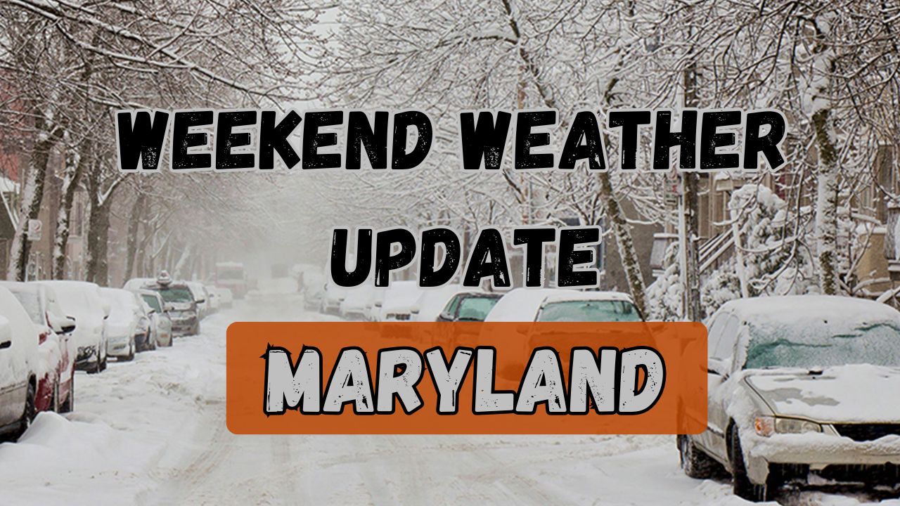
Forecasters say the pattern begins quietly enough, but residents should not be fooled. By late Saturday night, a developing low-pressure system will bring the season’s first widespread snowfall to central and eastern Maryland, including the Baltimore metro.
By the time the storm moves out Sunday morning, a blast of dangerous cold is expected to sweep in behind it, creating hazardous road conditions from rapid refreezing.
Cold and Quiet Conditions Through Saturday Afternoon
High pressure remains in control to close out the workweek, keeping skies partly cloudy and temperatures well below seasonal norms.
Overnight lows Thursday and Friday will fall into the lower to mid-20s, setting the stage for a winter environment that persists through the early weekend. Winds, which were brisk and biting earlier in the week, will continue to ease.
Friday brings a mix of clouds and sunshine, with highs struggling into the upper 30s. Roads stay dry, making for uneventful travel ahead of the weekend. A weak clipper system is expected to pass south of the state Friday night.
While most of the associated snow showers should remain well to Maryland’s south, forecasters note the possibility of a stray flurry, particularly in southern counties. Overnight temperatures dip again into the upper 20s.
Saturday will be the calm before the storm. Under partly to mostly cloudy skies, temperatures moderate slightly into the mid-40s, making it the most manageable day of the upcoming stretch. Clouds will steadily thicken Saturday afternoon as the developing storm edges closer from the west.
Snow Likely Saturday Night Into Sunday Morning
A more organized low-pressure system enters the region late Saturday, bringing the promise of measurable snow and initiating an Alert Day for much of Maryland.
Forecasters expect snow to begin falling sometime between 10 p.m. Saturday and 2 a.m. Sunday, with the possibility of a brief rain-snow mix at onset. Once colder air filters in, snow should accumulate rapidly, particularly on untreated roads, sidewalks, and bridges.
Current projections indicate 1 to 3 inches of accumulation across central and eastern Maryland, including Baltimore. Some localized pockets may see up to 4 inches where heavier snow bands develop. Because the bulk of the snowfall occurs in the overnight hours, accumulation will be efficient and travel conditions could deteriorate quickly.
By sunrise Sunday, many communities will face slick, messy roads, especially secondary streets that are not pre-treated. While the storm exits quickly—likely ending between 9 and 10 a.m.—the timing may disrupt morning services, church activities, youth sports, and early holiday outings.
Forecasters urge drivers to expect delays and allow extra travel time.
Arctic Air Takes Over Late Sunday Into Monday
The weekend weather does not end with snow. Behind the departing storm comes the coldest air mass of the season, plunging temperatures into the teens and lower 20s by early Sunday evening. Northwest winds of 10 to 20 mph, with gusts near 25 mph, will create single-digit wind chills overnight into Monday morning.
This combination of bitter cold and lingering moisture dramatically increases the risk of overnight refreezing, which could turn wet roads into sheets of ice. Forecasters emphasize extreme caution for anyone driving late Sunday or during the early Monday commute.
Monday remains bright but frigid, with highs only in the lower 30s. Gradual melting is expected under sunny skies, but any shaded or untreated areas may remain icy well into the day.
Looking ahead, a significant warm-up appears likely by the end of next week, with temperatures potentially returning to the 50s, offering a brief relief from the early December cold.
How are you preparing for the incoming snow and Arctic blast? Share your plans and updates with the community in the comments.

