Boston, Massachusetts — A fast-moving winter system sliding in from the Ohio Valley could finally break the long dry stretch across eastern Massachusetts, bringing plowable snow to parts of the state on Sunday. The setup arrives after what has already become the coldest start to December in 17 years, marking a notable shift in this season’s winter pattern.
Early December’s Quiet Snow Season May Be Ending
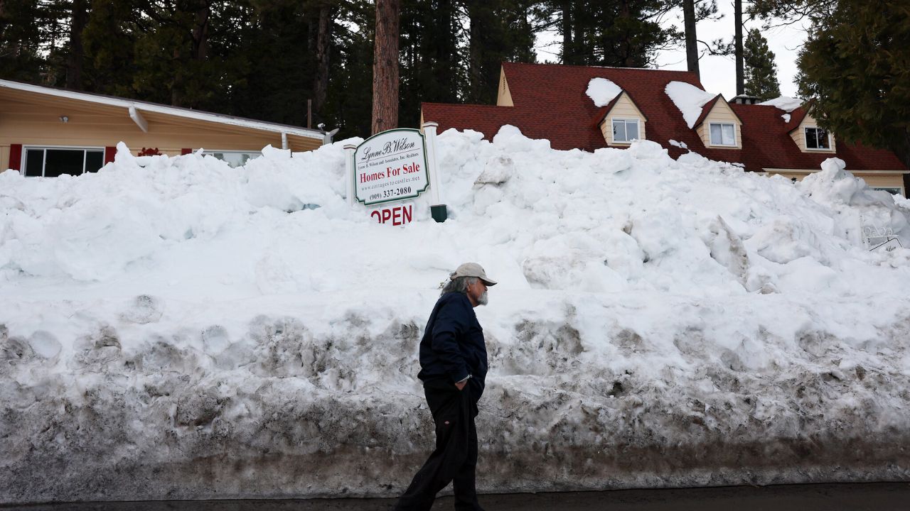
While several northwestern suburbs still hold onto a thin crust of leftover snow, most of coastal and southeastern Massachusetts continue to sit on bare ground. Boston, notably, is approaching 300 days without measurable snowfall, the third-longest streak on record.
The lack of snow has been striking, especially given the persistent cold that has defined the past two weeks.
That may change as a quick, compact storm pushes toward New England. The disturbance is currently expected to produce 3 to 6 inches from Iowa through Ohio before transferring energy to a new low-pressure system developing along the East Coast.
It is this coastal redevelopment that will bring a glancing blow to parts of southern New England late Saturday into Sunday.
When the Snow Begins
Residents may see light flurries as early as Saturday night, the kind often described as “mood flakes” heading into holiday festivities. The main window for accumulating snow arrives during daylight hours on Sunday, as the coastal low brushes the region while racing out to sea.
Because the storm is moving quickly, snow is not expected to linger into late Sunday night. Roads that become slick early in the day may improve quickly after sunset as precipitation shuts off.
Potential Snow Totals
Forecasting accumulation remains difficult, with models still disagreeing on how close the storm will track to the coastline. Solutions currently range from a near miss to a meaningful snowfall over southeastern Massachusetts.
If the storm takes the more favorable track for snow, Plymouth County, Bristol County, Cape Cod, and the Islands could see plowable totals on the order of:
- 1 to 3 inches, or
- 2 to 4 inches in a higher-impact scenario.
These amounts would be the first notable snowfall of the season for these areas. North of the Mass Pike, only light snow or intermittent flurries are expected, with little more than spotty coatings.
Impact on Patriots vs. Bills
Sunday’s weather also brings intrigue to the highly anticipated Patriots-Bills matchup in Foxboro. There is a strong chance that snow will be falling before and during the game, setting the stage for classic winter football conditions.
Snow during Patriots home games has historically been seen as an advantage for New England—though Buffalo may be the one exception, given their own frequent exposure to harsh winter weather. Regardless, the combination of playoff implications and potential snowfall could turn this into an instant classic.
What This Means for Travelers
As with most fast-moving coastal storms, timing will determine the greatest impacts. Sunday morning travel across southeastern Massachusetts may be slowed by accumulating snow, especially on untreated roads. Coastal towns and communities south of Boston should stay alert for changing conditions through midday.
Looking Ahead
This system is not expected to be major, but after weeks of bitter temperatures and no snow, it signals the start of a more typical December pattern. Cold air remains firmly in place, meaning additional chances for snow cannot be ruled out as the month progresses.
Will the return of snowfall affect your weekend plans or your gameday experience? Share your thoughts or local updates in the comments.


