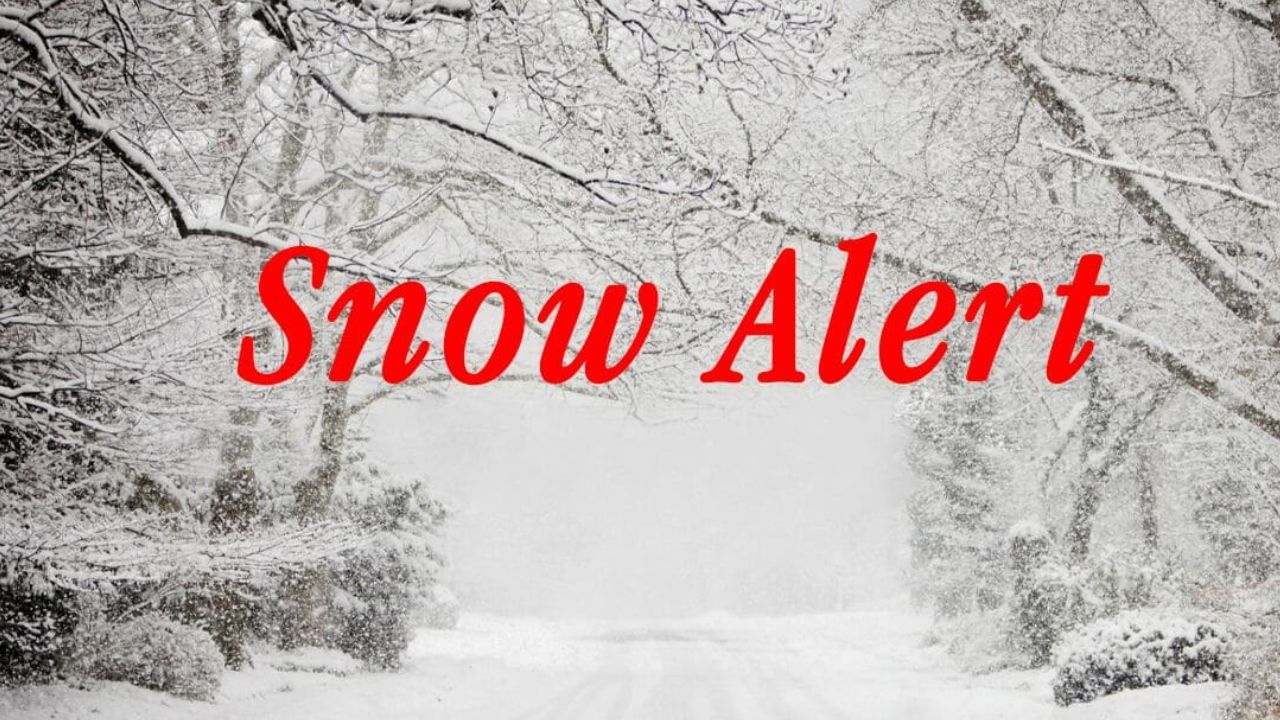
New York City, NY – New York City and surrounding areas are starting the week under a sharp blast of Arctic cold, as frigid air pours back into the region following a weekend snowstorm that left icy and hazardous conditions in its wake. With snow still coating roads and sidewalks, the return of bitter temperatures means winter is firmly in control — at least for the start of the week.
Icy conditions take hold Monday
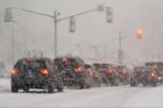
After a fast-moving storm delivered roughly 3 to 6 inches of snow across much of the Tri-State Area, temperatures dropped quickly overnight, allowing Arctic air to surge southward. The sudden freeze has created black ice and slick roadways across New York City, northern New Jersey, and parts of southern Connecticut, making the Monday morning commute especially treacherous.
Meteorologists say the cold air settling in behind the storm will prevent much of the snow from melting anytime soon. Even areas that saw lighter totals are dealing with compacted snow and refrozen slush, increasing the risk for slips, falls, and vehicle accidents.
Daytime highs on Monday are expected to struggle to climb out of the 20s, with brisk winds adding an extra bite. While a few stray snow showers could develop later in the evening or overnight, forecasters say any additional accumulation should remain minimal.
Dangerous cold continues into Tuesday
The deep freeze won’t ease immediately. Tuesday is expected to bring another cold day, with temperatures remaining well below seasonal averages. Overnight lows will dip into the teens in many outlying areas, keeping untreated surfaces icy through the early morning hours.
Officials urge residents to use caution while driving or walking, particularly on bridges, overpasses, and shaded sidewalks where ice can linger even during daylight hours. Pets, older adults, and those without reliable heating are especially vulnerable during prolonged cold spells.
Midweek warm-up offers brief relief
Relief from the bitter cold appears to be on the horizon, though it may come with trade-offs. By Wednesday, temperatures are forecast to rebound closer to normal, with highs climbing into the mid-40s across the metro area.
The warming trend strengthens on Thursday and Friday, when highs could reach the low to mid-50s, well above typical December averages. While the milder air will be welcome after days of freezing temperatures, it won’t arrive quietly.
Forecasters are tracking a round of steady rain expected from late Thursday into Friday. The rain could help wash away lingering snow and ice, but it may also lead to ponding on roadways and soggy conditions, especially where snowpack begins to melt rapidly.
Weekend storm recap: Snow totals surprised some areas
Sunday morning brought a classic winter scene to the Tri-State Area as the weekend storm exited offshore. While the system moved through quickly, it was efficient enough to produce 2 to 5 inches of snow in most locations.
In a somewhat unusual pattern, areas south and east of New York City ended up with the highest snowfall totals. Portions of Monmouth and Ocean counties in New Jersey, along with Suffolk County on Long Island, recorded more than 8 inches of snow.
Central Park measured 2.9 inches, which may not sound impressive compared to suburban totals, but it marked the largest December snowfall in the city since 2020 — a notable milestone after several quieter early winters.
Read Also: Southwest Kansas Warms Up as Dodge City Nears 60 Degrees This Week
First snowfall always brings impacts
Even modest snowfall can have outsized effects early in the season, as drivers and pedestrians adjust to winter conditions. Authorities say accident rates often rise during the first significant snow event, regardless of total accumulation.
With cold air now locking in the snow cover, crews will continue treating roads and sidewalks, but residents are reminded that icy patches can persist for days, especially during overnight refreezing.

What to expect moving forward
The overall pattern suggests that winter will remain active, even if temperatures fluctuate. While the midweek warm-up may temporarily ease the harsh cold, forecasters caution that additional cold snaps are still possible later in December.
For now, the key message is caution: limit unnecessary travel during the coldest periods, dress in layers, and stay alert for icy conditions through at least Tuesday morning.
How is the cold affecting your area? Did your neighborhood see more snow than expected this weekend? Share your local conditions and experiences in the comments.