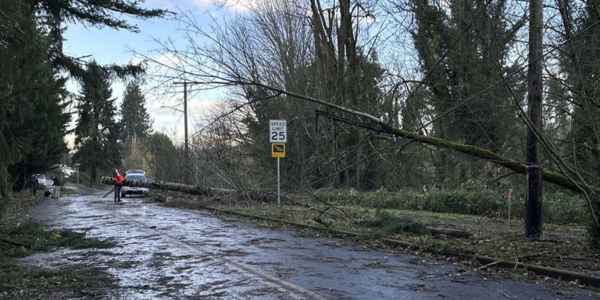
While another round of rain and strong winds are on the horizon, the storm developing in the Pacific Ocean and approaching the Oregon Coast will not intensify into a bomb cyclone upon its arrival on Thursday night.
KOIN 6 News Meteorologist Kelley Bayern indicated that the upcoming storm, a midlatitude cyclone, may bring strong winds off the coast, potentially reaching 30-40 mph in the valley until Friday afternoon. However, it is not expected to match the storm’s intensity that impacted the coast on Tuesday.
“Models are not indicating that this next storm will undergo bombogenesis or meet the criteria to be called a bomb cyclone,” Bayern said. “It’s another midlatitude cyclone and is much weaker than our recent bomb in terms of pressure. This storm will still pack a punch, though. We’ll see impacts from heavy rain and high winds around the region once again.”
Residents along Oregon’s central coast should prepare for a severe High Wind Watch beginning at 10 a.m. on Friday and lasting into the evening, as strong south winds may lead to downed trees and power lines. Winds could reach gusts of up to 60 mph.
Meteorologist Josh Cozart has described the consecutive storms as resembling a Fujiwhara-like phenomenon.
The National Weather Service explains that when two storms of similar size rotate in the same direction and come close together, they engage in a vigorous rotation around a shared center.
The phenomenon occurs more often when two hurricanes interact and move in a coordinated manner around one another. Nonetheless, a similar impact is anticipated as these sub-tropical systems traverse the Pacific Ocean, although the second storm will no longer retain its ‘bomb cyclone’ classification by the time it reaches land.

