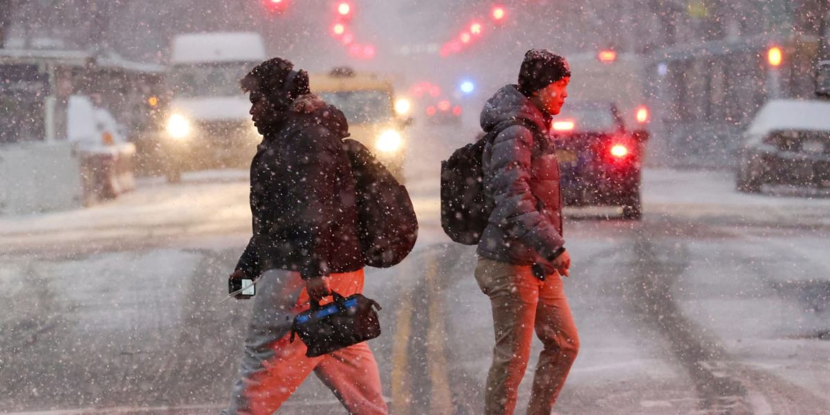
As we watch our major storm system form over the Great Lakes and move toward the Northeast, we gain a clearer understanding of how much cold air will be available and how much evaporative cooling will occur as low-pressure increases.
Low pressure going from Wisconsin to Michigan and finally into the Ohio River Valley will transfer energy just inland of the New York City metropolitan area. This will place coastal areas in the “warm sector” of our system, but it will still be cold and brutal, with heavy rains and highs in the 40s.
However, inland and at higher elevations, heavy rain is predicted to turn to heavy snow in sections of central and northeast Pennsylvania, central and southeast New York, and possibly northwest New Jersey. In the Catskills’ highest peaks, 6-12″ of heavy wet snow is forecast to fall. Meanwhile, mid-elevation hills and valleys might expect 3-6″ of slushy snow.
In certain regions, such as Binghamton, NY, a rain/snow mix would most likely result in 3″ or less of slush because the comparatively warm ground will make large accumulations difficult. The majority of the action appears to occur tomorrow afternoon through Friday afternoon.

