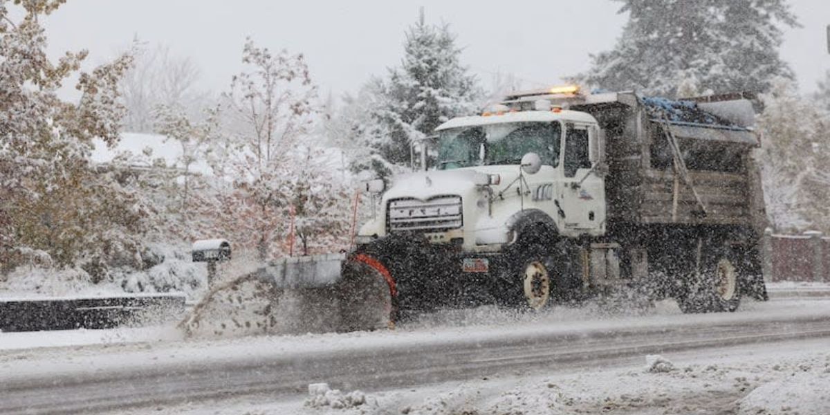
Utah’s mountains enjoyed a delightful layer of fresh snow over the weekend, but this is merely the start as a more significant storm approaches the state, which could impact Thanksgiving holiday travel plans.
Winter storm warnings and weather advisories have been announced by the National Weather Service for Utah’s mountain ranges, with predictions of 1 to 2 feet of fresh snow expected by Wednesday evening. Certain mountain ranges may see nearly 3 feet of snow, whereas the majority of valley areas are expected to experience rainfall.
This past weekend, Utah experienced a significant storm, bringing approximately 7 inches of snow to the National Weather Service’s Alta site on Sunday. Meanwhile, Salt Lake City recorded over a quarter-inch of precipitation, with some of it falling as snow.
However, that was merely the initial surge of a significant weather event originating from the Pacific Coast. The upcoming surge — delivering a significant impact — is set to arrive by Monday evening.
Expect moisture to start moving into southwestern Utah, bringing the chance of afternoon showers, followed by more extensive rainfall affecting the western part of the state on Monday night.
Initially, the elevated regions are expected to experience rain and snow, while the valley areas will begin to see more significant precipitation later tonight and into the early hours of Tuesday.
Intermittent rain, varying in strength, is expected on Tuesday as the weather system develops across the region. The situation is set to persist into Wednesday, affecting central and southern Utah as Thanksgiving approaches.
Conditions are anticipated to improve by the holiday on Thursday.

