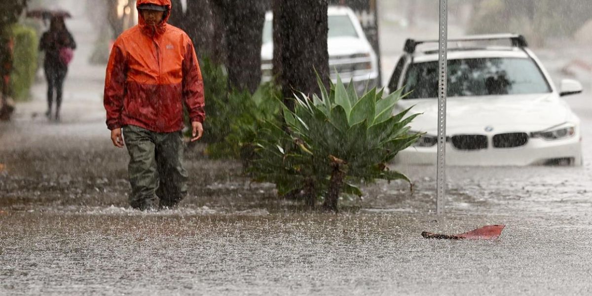
A rapidly intensifying storm is set to unleash powerful winds across Washington state, originating from the Pacific coast. Maddie Kristell, a meteorologist with the National Weather Service in Seattle, indicates that the storm will attain intensities that are seldom experienced in the area during this season.
“We do have an anomalously strong low-pressure system offshore. It has deepened its intensity, dropped pressure pretty significantly in the core of it,” Kristell said in a phone call with McClatchy.
During a conversation with KIRO Newsradio, Cliff Mass, a professor of atmospheric sciences at the University of Washington, indicated that the system is nearing hurricane-level strength. Kristell indicated that the forecasts from NWS imply that Washington is expected to avoid the most severe impacts of the storm.
“It does remain offshore. The track does seem to take it closer to northwestern Vancouver Island, so we’re not looking at a direct impact of the lowest pressure on our shores,” Kristell said.
A powerful storm is set to unleash strong winds across Washington.
However, this does not imply that Washington is entirely out of the woods. Kristell reports that wind gusts could reach up to 65 miles per hour in certain areas of the state.
“Certainly through the Strait of Juan de Fuca and along the coast, that’s where we’re going to see our strongest winds, where sustained winds could be between 30 and 35 miles per hour, with gusts between 60 and 65 miles an hour,” Kristell said. “The lowlands and up through the Bellingham area will probably see gusts more in the 35, 40 miles an hour range.”
A powerful storm system will bring heavy mountain snowfall, rain, and high winds to the Pacific Northwest and Northern California through midweek. Numerous flash floods, hazardous travel, power outages, and tree damage can be expected as the storm reaches max intensity on Wed. pic.twitter.com/iFrmuUZfj7
— NWS Weather Prediction Center (@NWSWPC) November 18, 2024
A storm is projected to arrive in Washington on the afternoon of Tuesday, Nov. 19, around 4 or 5 p.m., and is anticipated to continue into the next morning, as reported by Kristell.
Multiple sources have described the storm as a bomb cyclone. This phrase describes a tempest that escalates at an astonishing rate. A pressure system qualifies as a bomb cyclone when it experiences a drop of 24 millibars within a 24-hour timeframe.
Authorities have promptly released advisories regarding wind and flooding for the regions anticipated to be impacted by the impending storm. Kristell noted that although the storm will bring some rain, there isn’t significant worry regarding water levels. While flooding may occur along the coast, the storm is expected to primarily impact the Puget Sound area with strong winds.

